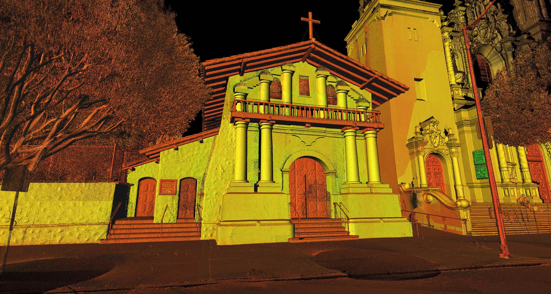
3D Point Cloud Model
With the recent purchase of the Leica Blk 360 scanner & DJI Phantom 4 Pro Drone, we now have the ability to to collect internal and external point clouds as data.
A point cloud is a set of data points in a coordinate system.
In a three-dimensional coordinate system, these points are usually defined by X, Y, and Z coordinates, and often are intended to represent the external surface of an object.
Point clouds may be created by 3D scanners. These devices measure in an automatic way a large number of points on the surface of an object, and often output a point cloud as a data file. The point cloud represents the set of points that the device has measured.
As the result of a 3D scanning process the point cloud data can be used to create 3D models. We can offer a complete model of an existing building or provide the cloud of points for your own manipulation.